I have long envied those who were born in Kansas, and even more so those whose ancestry runs a tight parallel with this state’s history. I have learned to be satisfied with a deep friendship, if not a kinship with this land of high plain; of earth-breaking badland and semi-arid grassland; cave and cliff; and red, Gypsum hill country. Most recently, I got to know my good friend even better when I explored the four corners of Kansas, from its Ozark Plateau basement in the southeast to its attic of big sky and rugged breaks in the northwest.
Northeast
For the first leg of my “four corners” trip, I followed the Glacial Hills Scenic Byway that runs from the intersection of Highway 92 and Highway 7 in Leavenworth, through Atchison and winds up in Doniphan County tucking Kansas into the Missouri River. As its scenic byway designation implies, the northeastern slice of Kansas is known for rolling hills created by ancient glaciers that eventually receded to the north, leaving a fertile landscape, covered today by forested hillsides, as well as golden wheat fields and lush, green valleys cradling quaint farmsteads.
If you enjoy all variations of charming, pastoral scenery, the Glacial Hills route doesn’t disappoint. From off-the-beaten path bridges passing over lazy streams to hilltop barns that offer nostalgic vistas, there are plenty of opportunities for vivid photography or just a visit to a simpler past.
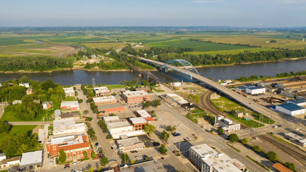
The climactic point of the Scenic Byway happens to be right at the Kansas-Missouri border, in White Cloud, Kansas where a man-made lookout perches on one of the many bluffs along the Missouri river. A multi-state expanse of farmland surrounds the river at all angles. The town’s welcome-sign claim of viewing four states at once (Kansas, Missouri, Iowa and Nebraska) is heavily debated among visitors, however, there is no challenging the beauty of this overlook.
Northwest
Top of the world. These words echoed inside me as I drove through Cheyenne County along Highway 36, which runs east-west nearly brushing against the Nebraska border. “Top of the world” might seem like an unearned superlative in a state known for flatness, but 36 lifts travelers higher and higher toward the Colorado border, the land meeting the sky. For this reason, I chose route 36 instead of Interstate 70 because it cuts through and showcases the most dramatic parts of the high plains, culminating in the Arikaree Breaks, or the badlands of Kansas, just outside St. Francis, where the Sunflower State triangulates with Colorado and Nebraska.
Following a cozy stay at The Spencer House Bed & Breakfast, my gracious innkeepers equipped me with a self-guided tour map of the Arikaree Breaks and I set out on a pristine Saturday morning to photograph beautifully broken earth. I was transported beyond the stereotype of wheat fields and red barns to a dusty, desert highway in Arizona, my eyes wandering endless plateaus of canyons.
The Breaks are only a few miles wide, but that’s enough to get lost in a southwestern scene of yucca and prickly pear cactus in every direction within minutes of leaving downtown St. Francis. These badlands sprawl for 36 miles, extending into Colorado to the west, and Rawlins County to the east. The ruggedness of the unpaved, sand and gravel road I followed seemed appropriate considering the terrain. In fact, I was grateful no one had decided to pave it in keeping with the wildness of the land.

Mule deer, less earless lizards, coyote, and a wide variety of feathered friends, such as horned larks and vesper sparrows, call the Breaks their home. There is even a town of black-tailed prairie dogs, but I remained singularly bewitched by a topography deposited long ago by the wind. These deposits of sand, clay, and silt particles, known as loess, possibly drifted in from the Nebraska Sand Hills and/or the Platte River System.
Southwest
Just as “top of the world” might be an unexpected descriptive for such a flatlander state, “Gateway to the Southwest” could also be hard for natives and non-natives alike to embrace. Kansas may represent the epitome of the Midwest in terrain and climate, but the semi-arid Cimarron Grasslands, outside of Elkhart, Kansas, spanning Morton and Stevens counties, are at the very least a strong hint of what lies further west, in states such as New Mexico and parts of Colorado.
With its prickly coat of yucca and sagebrush, these grasslands are a leftover reminder that the High Plains region was a dusty wasteland less than a century ago. The Cimarron Grasslands are 108,175 acres of federally protected and managed land, and as one of only 20 grasslands under the umbrella of the U.S. Department of Agriculture, Forest Service, the government began reclaiming this land in the late 1930s following a decimation of the area’s natural resources during the “Dust Bowl”.
Other than a pack of ATV riders creating their own dust smoke as they whizzed by I was alone in a brushy, scrubby valley pushing up against a series of cliffs. In fact, other than a couple of bed and breakfast proprietors and other B&B guests, these were the only people I encountered in my four-corner exploration. These private viewings were a gift throughout my journey, allowing me an undisturbed witness of Kansas’ natural bounties.
Southeast
If the southwestern corner slice of Kansas is the “Gateway to the Southwest” the southeastern pocket is the cusp of the Ozarks that extend through Missouri and Arkansas, branching into Oklahoma. On a late fall day in November, about a mile outside Galena Kansas, a historical mining town located along Route 66 (yes, that Route 66), offered me a taste of the Ozark mountain region lying to the east and south. The Schermerhorn Park and Southeast Kansas Nature Center is a 55-square-mile section of the “Ozarks of Kansas”, or “Little Ozarks”, formed by the Ozark Plateau.

The nature center itself exemplifies the spirit of the topography around it, sitting on a hill, lined with stone ledges, it offers a picturesque overlook of Shoal Creek, which runs beside it and is part of the 32-acre Shoal Creek Wildlife Area. In keeping with the theme of independent exploration I had unintentionally maintained throughout the other three legs of my four-cornered quest, I decided to venture into the park without stopping in at the center. For those who opt for a solo excursion as I did, the park backs up to the nature center and is very navigable with easy-to-follow signage.
Ascending a heavily forested nature trail that forked, leading up and down, I chose to descend at the fork toward a clearing, where I discovered a surrounding wall of Mississippian limestone opening up at the mouth of Schermerhorn Cave. The cave is nearly half a mile long, though much of this isn’t accessible. I viewed Schermerhorn from a small footbridge extending like a tongue from the front of the cave.
A spring flows from the cave sustaining some of most rare species in Kansas including grotto salamanders, dark-sided salamanders, cave salamanders and graybelly salamanders. This region also features the oldest surface rocks in the state. Fish not found west of the Ozark Plateau can also be observed here.
Explore More
It can be hard to hit the highlights of every Kansas corner pocket in one go so here are several notable experiences I missed in each directional region.
In the northeast, there is Benedictine Bottoms, a rich, wildlife spot, just outside of Atchison, where you can take in even more Missouri River activity, including plenty of scenic bluffs.
For those drawn to breaks and badlands, explore Horse Thief Cave or Devil’s Cap, both part of the Arikaree Breaks. Both are included on the self-guided tour and Devil’s Cap offers one of the best views of the Breaks. There are also several spring-fed creeks along the tour, including Plum Creek, Hackberry Creek, Cleveland Run Creek, and Spring Creek.
In the southwest, you can take in the Cimarron River valley from Points of Rock. For hikers, there are the Murphy and Conestoga trailheads with a Cimarron River Overlook site accessible from both.
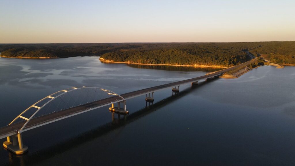
In the southeast, I recommend a visit to Elk City Lake. The lake is outside of Elk City, Kansas, which is about an hour-and-a-half drive west of Galena. This area is the “gateway to the gateway” as I like to call it. Geologically, Elk City is the start of the Ozarks of Kansas and the lake offers a moderately difficult hiking trail that covers more than 11 miles of Kansas Ozark territory.
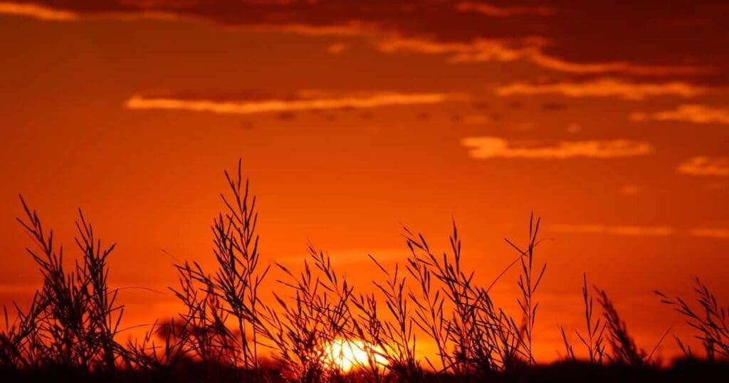
Besides getting to know the state I love even better, I had another motive for writing this piece. There is a general perception that Kansas is entirely flat and boring, lacking the natural beauty of some, if not most other states. The Rockies are stunning, and the Grand Canyon elicits universal awe, but the Sunflower State offers a subtle majesty even beyond the rare river bluff or badland break, in its characteristic wheat fields and cattle pastures, quietly unforgettable in the candy-colored glow of a Kansas sunset, or against the luminous canvas of winter on the plains. I dare you not to notice Kansas.
Originally published without these photos in Kansas Wildlife & Parks magazine May/June issue of 2017.
