Beyond its rolling fields of Bluegrass, bourbon and horse racing, Kentucky is also home to incredible waterfalls. Yes, waterfalls. There are over 800 waterfalls throughout the state, with some of the most scenic on the Kentucky Wildlands Waterfall Trail!
From thundering cascades to smaller falls that flow into picturesque swimming holes, here are eleven must-see waterfalls in Kentucky.
Dog Slaughter Falls (McCreary/Whitley)
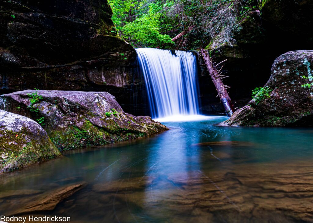
You’ll be happy to know that no dogs were harmed at this waterfall. In fact, it’s one of the most beautiful in the region. Located at the bottom of a scenic gorge obscured by towering hemlock trees, this 15-foot fall plunges into a spectacular pool of teal water surrounded by large boulders and a cove. Even during the drier seasons, this fall remains a popular spot with visitors and is easily reached by the Dog Slaughter Trail off the Forest Road trailhead. Once at the falls, continue your hike over rocky terrain dotted with blooming rhododendrons before ending at the Cumberland River.
Bad Branch Falls (Letcher)
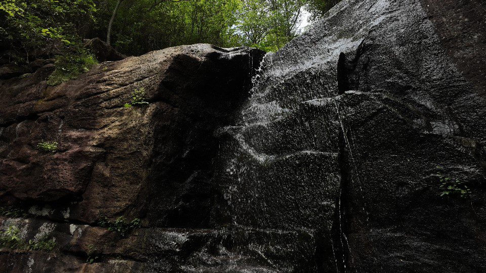
Journey along historic timber roads to Bad Branch Falls, an impressive cascade flowing over a dark rock wall in Bad Branch State Nature Preserve. You’ll hike along a scenic, one-mile trail that weaves through towering hemlock pines, sandstone cliffs, and striking rock formations, making the scenery as captivating as the destination. For more of a challenge, hike the High Rock Loop Trail there instead – it’s a little over two miles to the top of Pine Mountain. Whichever route you choose, enjoy the cool spray at the foot of the falls and have your camera ready to snap photos of rainbows forming in the mist.
Jenny Wiley Falls (Johnson)
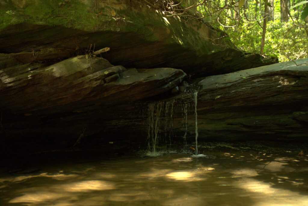
Named after pioneer Jenny Wiley, who escaped Indigenous American captors in 1789, these falls are near the Little Mud Lick Trail. Flowing 30 feet over ledges of limestone covered in lush green moss, Jenny Wiley Falls is a less than a mile hike on a somewhat challenging trail that is both narrow and winds downhill. Your best bet is to park at the nearby church, where a sign marks the trail entrance. It’s best to visit the falls from March through October due to the rains, but be careful on the trail, which can get slippery.
Yahoo Falls (McCreary)
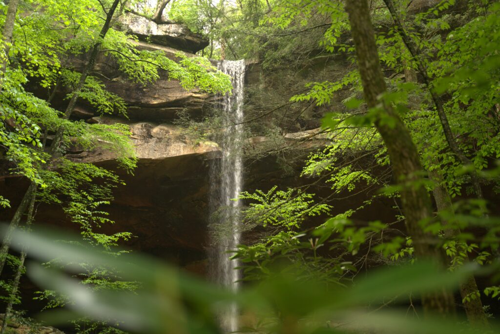
Lace up your hiking boots and take a camera because Kentucky’s tallest waterfall is ready for its close up. Tucked away in Big South Fork National Recreation Area, Yahoo Falls plunges an awe-inspiring 113 feet into a shallow pool below. Enjoy a moderate hike along the Yahoo Falls Trail, where you’ll trek across the creek above the cascades and down to the base of the falls for Instagram-worthy views. And for a unique perspective, go behind the falls themselves!
Seventy-Six Falls (Clinton)
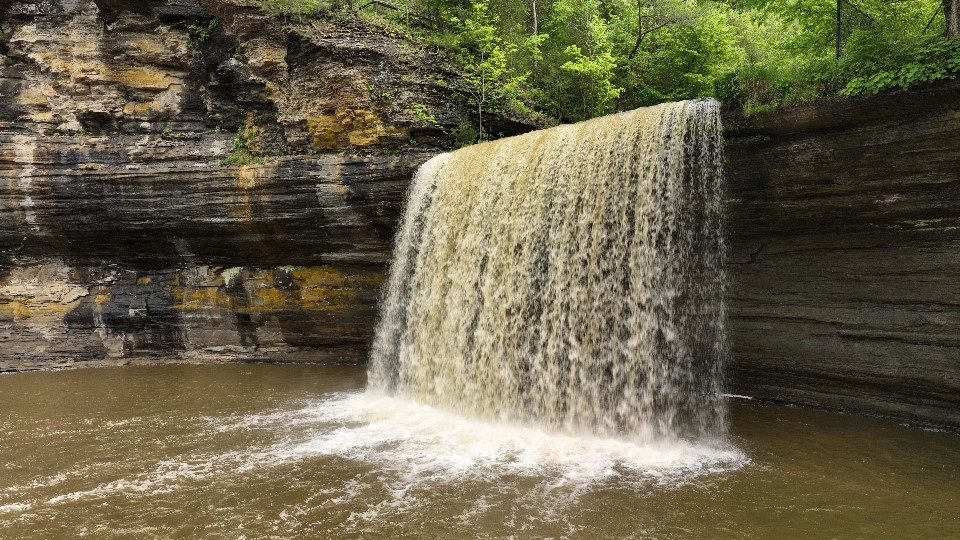
While the name might suggest that this waterfall is 76 feet, Seventy-Six Falls actually stands at an impressive 84 feet high, cascading dramatically into Indian Creek. This name likely originates from the nearby community of Seventy-Six, though some speculate the community was named after the waterfall itself. On the quick 0.4-mile walk there, you’ll enjoy plenty of shade, views of the water, and a boardwalk path, but be prepared to climb a few steps. There’s a sheltered picnic area near the falls, so don’t forget to pack a lunch.
Cumberland Falls (McCreary/Whitley)
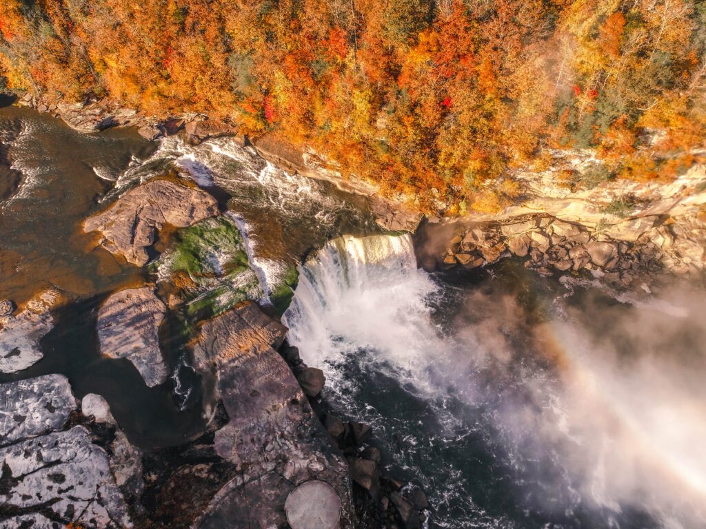
Nicknamed “Niagara of the South,” Cumberland Falls more than lives up to its name, spanning 125 feet and plunging 68 feet into the Cumberland River. Surrounded by the Daniel Boone National Forest within Cumberland Falls State Resort Park, these falls are one of two places on the planet to view a moonbow. This natural phenomenon occurs when moonlight is refracted in water droplets during a full moon, creating a stunning rainbow effect. Hikes to the falls range from the short .5-mile Cumberland Falls Trail that also provides views of the iconic Gatliff Bridge to the 10.8-mile Moonbow Trail that encompasses much of the park. For a unique vantage point, check out raft tours to the base of the falls.
Pine Island Double Falls (Laurel)
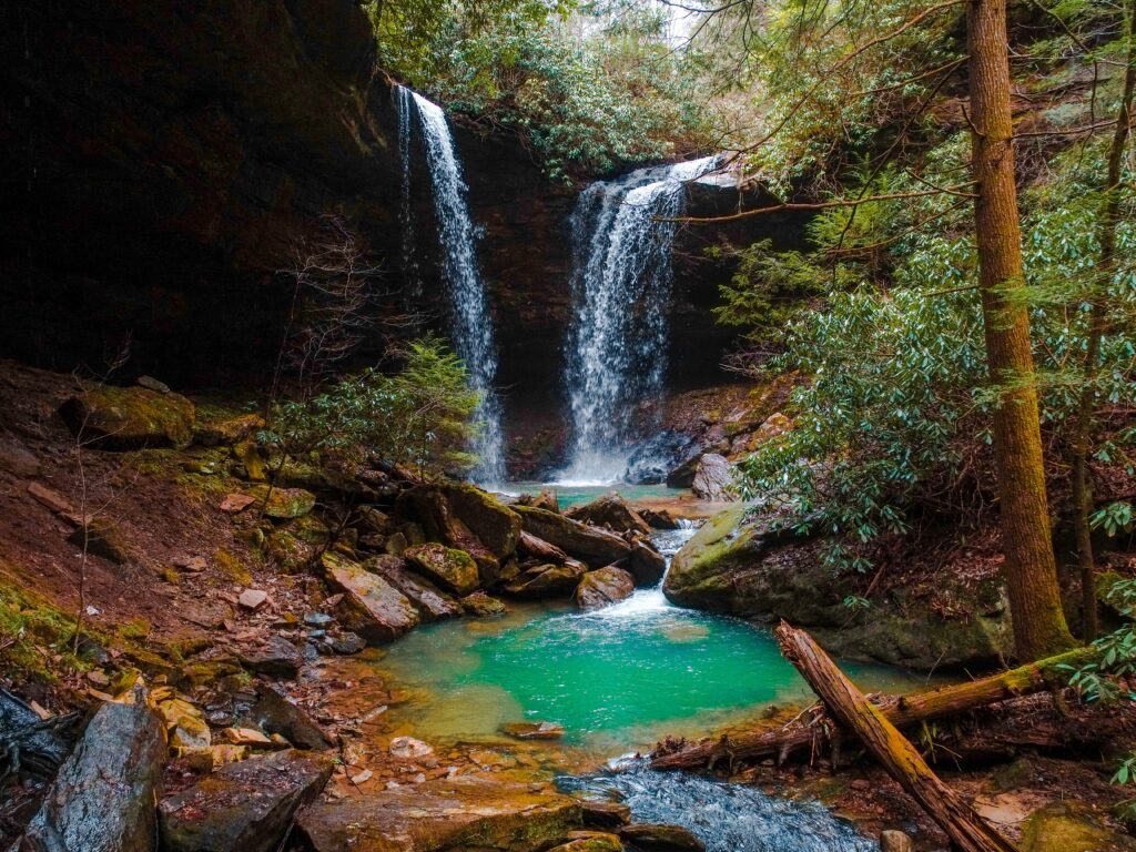
Tucked away in Daniel Boone National Forest, this spectacular (and rare) double waterfall will take your breath away. Here, dual falls spill from two different heights over a rust-colored alcove before connecting at the bottom in a picturesque jade pool overflowing into a rocky stream. The hike to the falls is short, just 1.4 miles out and back, and is parallel to a creek. Even better, the trail is dog-friendly (leashed), so you can explore this secluded spot with your four-legged friend. Visit during the fall when the flows are heavier, though the falls in the summer are still beautiful even if they are nothing more than a trickle.
Anglin Falls (Rockcastle)
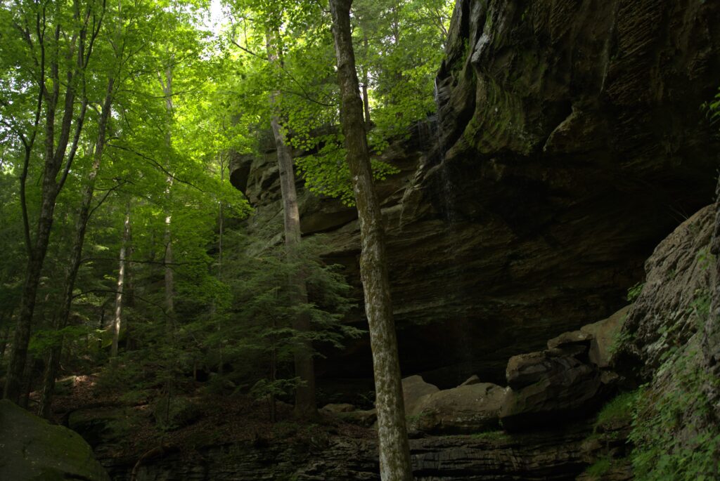
The hike alone to Anglin Falls is a picture-worthy adventure on its own. Weaving its way uphill through John B. Stephenson Memorial Forest State Park, the short 1.7-mile out-and-back trail passes by streams flowing over cliff ledges, towering trees and, during the spring, a colorful quilt of wildflowers. The falls themselves trickle 75 feet over a steep rocky ledge into a tree-covered ravine. Visit during the winter. As the temperatures turn frigid, the freeze-thaw cycle creates a magical icy pillar adorned with giant icicles.
Eagle Falls (McCreary)
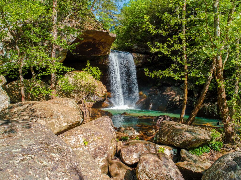
The trail to Eagle Falls is a two-for-one deal: not only does it end at a stunning 44-foot waterfall, but it also offers sweeping views of the mighty Cumberland Falls. The first half of this 1.5-mile hike meanders along a cliffside, with a seasonal stream crossing that leads to a descent towards the falls. As you approach the falls, prepare to do some rock hopping, but it’s well worth the effort. These majestic cascades flow over a stunning rocky ledge before plunging into a turquoise pool below. Enjoy a picnic on the pool’s edge, and snap some photos while you’re there.
Note: Sometimes, the lower portion of the trail may be submerged in high water.
Vanhook Falls (Laurel)
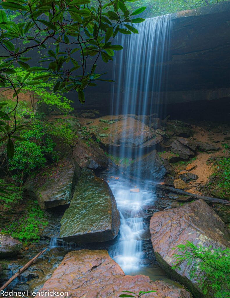
If you’re up for a longer, more adventurous hike, the 5-mile out-and-back trail to Vanhook Falls is a must. The perfect showcase of Kentucky’s natural beauty, you’ll hike the Sheltowee Trace Trailhead in Daniel Boone National Forest. On the way, you’ll meander along Cane Creek and see everything from smaller waterfalls to impressive rock slabs and stone bluffs before reaching the main attraction – a slender stream of water flowing 40 feet into a sandstone cathedral.
Princess Falls (McCreary)
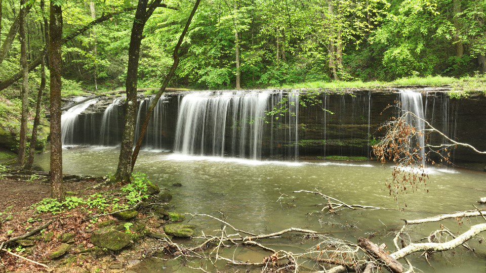
Named after the Cherokee Princess Cornblossom, Princess Falls is a charming and scenic spot in McCreary County. You’ll enjoy a family-friendly hike on the Sheltowee Trace Trail with views of both Lick Creek and the Cumberland River. The two-mile out-and-back path is flat and easy to navigate, featuring smaller waterfalls and intriguing rock formations. Of course, Princess Falls is the star of the show, which you can admire from both above and below.
Tip: Visit the falls after a rainstorm for the most impressive cascades (be sure to take the trailhead from the upper tier of the parking lot to avoid the mud!)

