Take the scenic route from Gatlinburg, Tennessee to Asheville, North Carolina and soak up the majestic beauty of mountains dressed in winter white. This road trip guide is full of tips for winter hikes but these stops are beautiful year-round as well.
The Great Smoky Mountains and the Blue Ridge Mountains (part of the Appalachians) inspire awe in every season. But in winter, when they’re dusted in snow, they’re simply breathtaking. Even better, they’re very sparsely populated at this time of year, so there’s a good chance you’ll have the wonderlands all to yourself. With the leaves down, you get access to long-range views of the rolling ridgelines that are all but hidden in warmer months. And any falling or dripping waters turn into incredible ice formations.
One great way to immerse yourself in their full-blown majesty and tranquil atmosphere is to take a drive from Gatlinburg, Tennessee to Asheville, North Carolina following a scenic route along US 441 to I-40 East through Great Smoky Mountains National Park, onto the Blue Ridge Parkway, then on to Asheville.
Be sure to stop fairly frequently along the drive from Gatlinburg to Asheville to take in the amazing sights and attractions. Below are some spots to check out to make the most of your winter adventure. For safety’s sake, try to go after a snow fall, not during. While snow and ice can result in road closures both on US 441 and the Blue Ridge Parkway, there are many days when unseasonably warm temperatures allow both to be fully open. (See contact info at the end to check on road conditions in the Great Smoky Mountains National Park and along the Blue Ridge Parkway.)

Great Smoky Mountains National Park
Just after departing, Gatlinburg, you’ll be embraced by the trees of Great Smoky Mountains National Park. Smoky Mountain winters are typically moderate with temperatures reaching as high as the 60s. Most snowfalls occur in January and February, so if powder-coated vistas are your goal, plan your trip accordingly.
Sugarlands Visitor Center
Primary road is US-441 S; reach destinations mentioned below via smaller roads that branch off of US-441
To gather information and launch your trip in Great Smoky Mountains National Park, stop by the Sugarlands Visitor Center, where you can tap into the expertise of the rangers, buy books and guides, tour the natural history exhibits and watch a free 20-minute film about the park movie.
Just behind the Visitor Center is the Cataract Falls Trail. At 0.75 miles long, this trail follows Fighting Creek under a beautiful tree canopy and culminates in the spectacular 40-foot-tall Cataract Falls. The hike will take 30-60 minutes and, because it’s not at all taxing, it’s well-suited for a family trek.
After stretching your legs on the Cataract Fall Trail, take a scenic drive (about 20 miles) up to Clingmans Dome — on the border between Tennessee and North Carolina. There are many pull outs along the way where you can stop to enjoy the mountain views. Clingmans Dome is Tennessee’s highest point and the ecosystems you’ll traverse as you follow the rising road to it replicate the experience of driving from Georgia to Maine. Walk the steep 1.2-mile trail (take breaks on the trail benches) to the summit observation tower to get a 360-degree, jaw-dropping view of the surrounding valleys and ridges.
The 11-mile, one-way loop around Cades Cove, is one of the most popular places in Great Smoky Mountains National Park — perhaps because it’s a treasure trove of both fabulous natural scenery, wildlife and interesting cultural destinations. More than 16 original 18th– and 19th-century wooden structures (from churches and a working grist mill to barns and log houses) reflecting the lives of the area’s earliest European settlers can be found off short trails that connect to the road. The natural environs provide glimpses of animals including deer, turkeys and black bears.
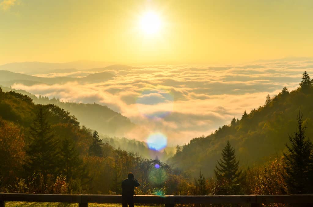
Deep Creek Valley Overlook will give you the magnificent North Carolina side of things. Though this viewing spot happens to be one of the most stunning in the park, it’s often overlooked. That’s unfortunate because it provides an all-encompassing view of the valley on the park’s south edge — one leading into Bryson City’s Deep Creek area.
Another fun and educational stop in the North Carolina portion of the park, is Mountain Farm Museum — a group of mostly 19th-century farm buildings gathered from various park locations, along with demonstrations of historic gardening and agricultural practices. A guide booklet is available at the nearby Oconaluftee Visitor Center. The Visitor Center is another great place to see wildlife — specifically elk who tend to amble across the large grassy field on their way to the woods, about an hour or two before sunset.
Cherokee, a small town on the park’s eastern edge provides additional fascinating historical insights. The town is located on the reservation of the Eastern Band of the Cherokee Nation in western North Carolina. Visit the Museum of the Cherokee Indian for a deep immersion into the history of Native Americans in the southeastern region of the U.S.

The Blue Ridge Parkway
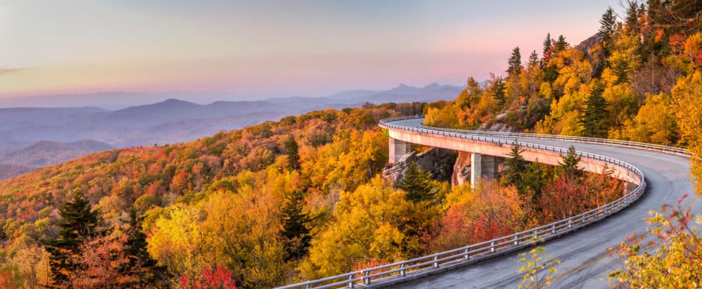
As you leave Cherokee and head to Asheville, you’ll take the Blue Ridge Parkway (US-19), tracing the ridge of the Blue Ridge Mountains across western North Carolina at 45 miles per hour — the speed limit along its whole length.
Know that even during road closures, the hiking trails are generally open and trailheads are often accessible from the parkway on ramps. If a trail is not open or the hike seems slippery, opt for a lower elevation trail. Or, go for a hike on the roadway itself — an idyllic canvas for fresh wildlife tracks. Many visitors engage in winter recreational sports including everything from sledding and snow play to cross-country skiing and snowshoeing.
Three High-Peak Destinations to Explore Along the Blue Ridge Parkway in North Carolina
At Milepost 408, the Mount Pisgah Trail has 1.6 miles to the summit. The trail starts at the end of the Mount Pisgah Parking Area and ascends 712 feet (the second half of the hike is steep and rocky). At the summit, the spectacular view encompasses the French Broad River Valley and Shining Rock Wilderness.
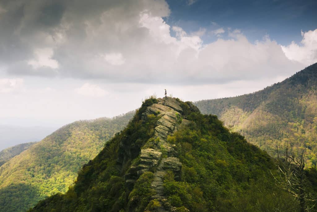
At Milepost 422.4, you can sit in your car in the Devils Courthouse Overlook parking area and get a breathtaking view of the Devil’s Courthouse rocky outcropping. Or, hike to the summit of Devil’s Courthouse mountain. The roundtrip hike is just under a mile and very challenging, but the payoff is huge — sweeping panoramic views of peaks in the Pisgah National Forest and far-off views of South Carolina, Georgia and Tennessee.
At Milepost 451.2, you’ll reach Waterrock Knob, a paved parking area (with picnic tables) at the top of a hill looking out over several Appalachian mountain chains (the Great Balsams, Great Smokies, Cowees, Nantahalas, Blue Ridge Mountains, Newfound Mountains, Blacks and Craggies), in all directions. Hike a few hundred feet to the overlook above the parking lot to access fantastic long-range panoramic views, or climb about 500 feet to the summit of Waterrock Knob (6,273 ft. tall and the 16th highest mountain in the eastern U.S.) by following the Waterrock Knob Trail; it’s 1.2-mile roundtrip. This spot is one of the best places in the North Carolina mountains to watch the sun set or rise. It can be very chilly up there, so dress warm. There’s also a visitor center and park store at this stop.
Less Challenging Spots For a Winter Hike Along the Blue Ridge Parkway in NC
At Milepost 238.5 in Doughton Park, take the 7.5 mile-long Bluff Mountain Trail through lovely rolling terrain into a forest of hemlock trees and out to the edge of the Blue Ridge Escarpment. There you’ll see fabulous vistas of the Blue Ridge Mountains.
A great place to hike when the Parkway is closed is located at the intersection of Town Mountain Road (NC 694) and the Blue Ridge Parkway at Milepost 377.4, just six miles from downtown Asheville. Park in the small parking area near the gate that blocks automobile access to the Parkway.

Winter Safety
Snow and ice can cause road closures in Great Smoky Mountains National Park and along the Blue Ridge Parkway.
o Check current closures before going to Great Smoky Mountains National Park. For updated road information, call (865) 436-1200. Once you hear a voice, dial extension 631 for road information. Also, follow road status updates on Twitter.
o Before traveling the Blue Ridge Parkway in winter, call the park information line at (828)-298-0398 for updated weather and road closure information, or consult the National Park Service’s interactive map, which highlights road closures and adverse driving conditions. Additional info can be found on the Blue Ridge Parkway Facebook page.
Before going, check in with your car mechanic and make sure your vehicle is winter-road-trip-ready and outfitted with winter tires. A 4-wheel-drive vehicle is highly recommended.
